
Location
Set beside a creek, connected to the city.
Cardinia Creek South sits in Clyde North, postcode 3978, within the City of Casey. About 45km south-east of Melbourne CBD, with the Cardinia Creek corridor as its eastern edge.
Distances & connections
Approximate distances from the precinct centre. Confirm before making decisions.
- Melbourne CBD
- ~45km
- Melbourne Airport
- ~58km
- Berwick / Merinda Park stations
- Nearby
- Westfield Fountain Gate
- Nearby (north)
- Casey Fields recreation precinct
- Nearby
- Cardinia Creek corridor
- Eastern edge
On the map
The real location.
Marker indicative — see the official precinct plan for exact boundaries. Map data © OpenStreetMap contributors.
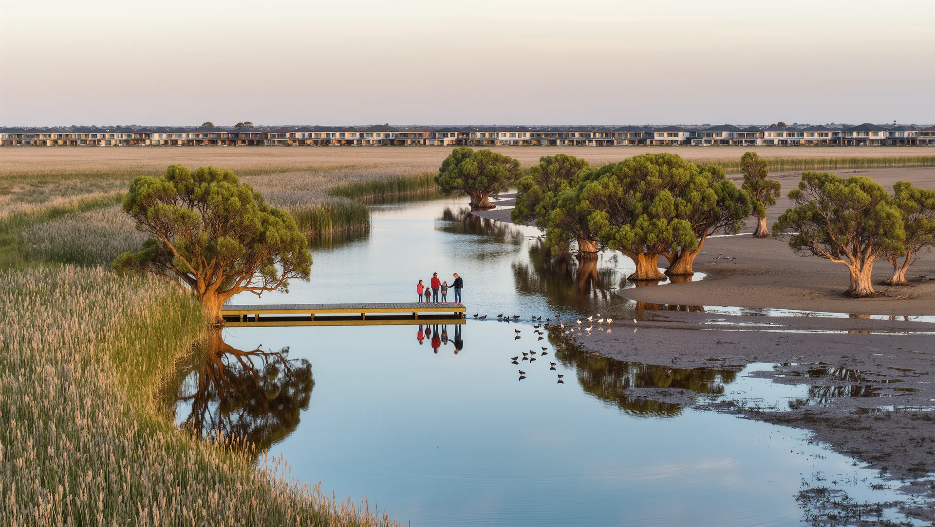
Artist's impression — indicative only.